the "supreme discipline",
the Karnische Höhenweg
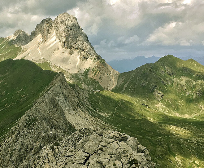
A combination of challenging, typically Alpine trails in the Alps and sweet mountain landscapes with alpine meadows and pleasant paths.
The Karnischer Kamm has been the stage of the World War I and its deadly signs are still visible.
Numerous are fixed-aid climbs, very long trenches, remains of military posts and rock caves used as bunkers and soldier cemeteries Paradise for hikers.

Description
The “Karnischer Höhenweg” or “Peace Trail” (no. 403) follows the contours of the Karnischer Kamm mountain ridge that divides Austria and Italy, starting in the town of Sillian and ending after approximately 150 km (approx. 105 km as the crow flies) in Arnoldstein. It is broken down into 8-11 daily hikes.
The section east of the Plöckenpass is a bit longer and boasts a gentle landscape of hills with vast alpine meadows and easy hiking mountains. West of the Plöckenpass extends the naturalistically more interesting part along the highest peaks of the Carnic ridge.
History ...
Today, borders between EU Countries are absolutely open. This specific border between Austria and Italy was harshly disputed until only a few decades ago (during World War I). Numerous fixed-aid climbs, very long trenches, remains of military posts and rock caves used as bunkers and soldier cemeteries are there to remind us of those terrible times between 1915 and 1918.
Those days, thousands of men found themselves having to persist through summer and winter at an altitude between 2,000 and 2,700 m, transporting large amounts of arms and ammunition, stored in rough shelters in the most adverse conditions. Many of them, mostly very young, perished in these mountains, not only because of enemy attacks but also due to natural causes, such as avalanches, disease and frostbite...
Der Soldatenfriedhof in Hochgränten in der Nähe des Hollbrucker Spitzes ist der höchstgelegene in Europa.


